National Geographic Topo Map - North Fork #313
National Geographic Topo Map - North Fork #313
SKU:160078
Regular price
$11.95
Sale price
$11.95
Regular price
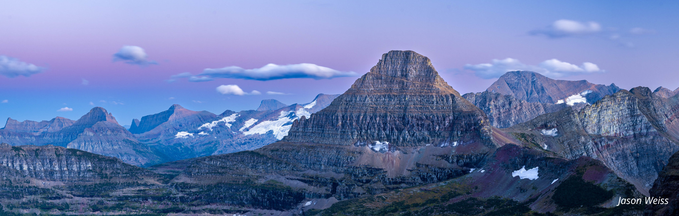
This National Geographic Trails Illustrated Topographic Map is the most comprehensive topographical map for the North Fork region of Glacier National Park in Montana. This map of Glacier National Park provides enhanced detail and scale, ideal for backcountry use. Includes UTM grids for use with your GPS unit. Printed on waterproof, tear-resistant material this map can go anywhere you do. Scale = 1:50,000. Contour interval = 50 feet.
Approximate Size: 4" x 7.5" folded
Proceeds from your purchase support critical projects and programs throughout Glacier National Park. Your purchase makes an impact!
-
Estimated delivery: May 23 - May 27