National Geographic Topo Map - Many Glacier #314
National Geographic Topo Map - Many Glacier #314
SKU:160076
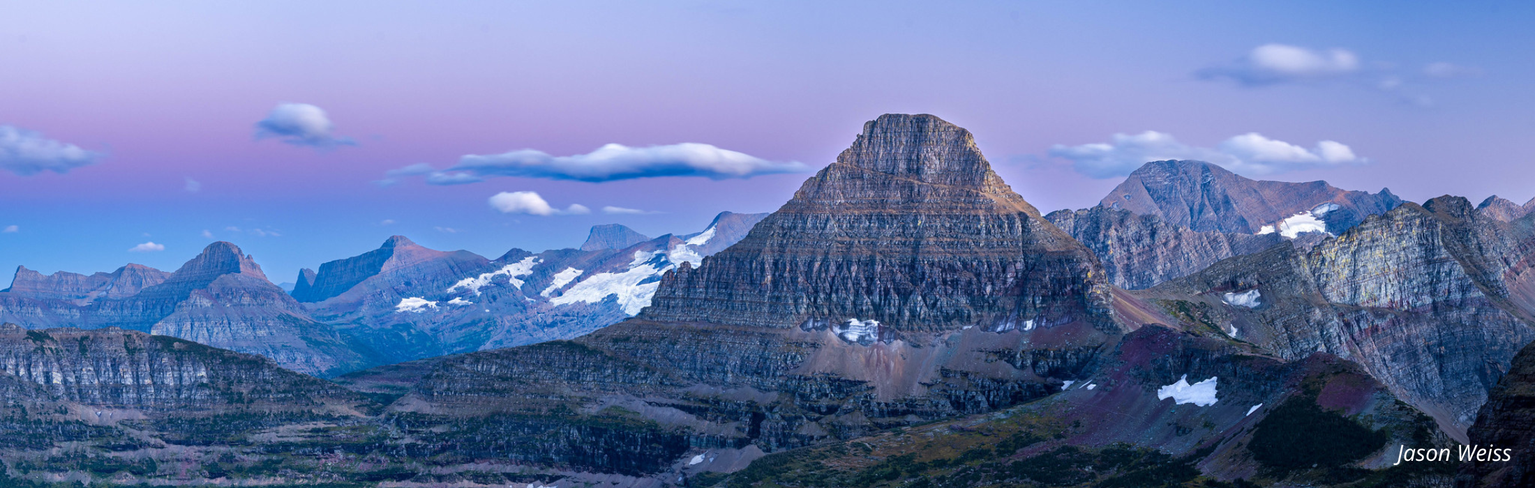
This National Geographic Trails Illustrated topographic map is the most comprehensive recreational map for the Many Glacier area of Glacier National Park in Montana. The north side of the map includes: Waterton Lakes National Park; Lower, Middle, and Upper Waterton Lakes; Prince of Wales Hotel; Upper Kintla Lake; Continental Divide Trail; Pacific Northwest Trail; and more. The south side of the map includes: Continental Divide Trail, Pacific Northwest Trail, Lake Josephine, Swiftcurrent Pass, Elizabeth Lake, Lake Sherburne, Iceberg Lake and much more. Printed on waterproof, tear-resistant material this map can go anywhere you do. Includes UTM grids for use with your GPS unit. Scale = 1:50,000 Contour interval = 50 feet
Measures 4" by 7.5" folded
-
Estimated delivery: Jul 30 - Aug 03