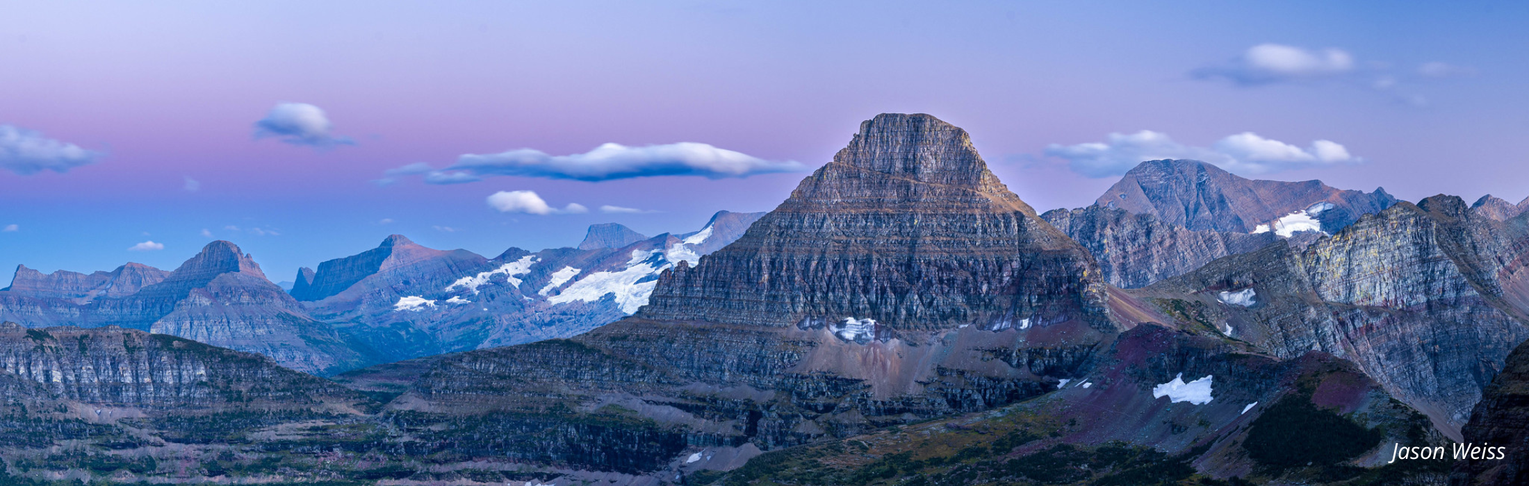
National Geographic Glacier & Waterton Lakes Topo Map #215
National Geographic Glacier & Waterton Lakes Topo Map #215
SKU:160061
Regular price
$14.95
Sale price
$14.95
Regular price
The ultimate illustrated topographic map for Glacier and Waterton Lakes National Park. This map is waterproof and tear-resistant. It includes information areas, campgrounds, Continental Divide Trail, Pacific Northwest Trail, whitewater access, dining, points of interest and much more.
Approximate Size: 4.25" by 9.25" folded
Scale 1:100,000
-
Estimated delivery: May 31 - Jun 04